Seeking Feedback on Proposed Bike/Pedestrian School Routes, City Hosts ‘Walking Tour’

In a heartening display of civic responsibility this past Thursday evening, June 20, elected and government officials from the City of Falls Church – including the Mayor, City Manager, and several City Council members – as well as concerned residents and young students, gathered at West End Park off the W&OD Trail at 1048 W. Broad St., to consider alternative plans for how to make bicycling, walking, and trail-going to and from school safer and easier.
The three-stop tour was hosted by the City’s Principal Planner, Kerri Oddenino, AICP, and several other Planning Office staff sporting bright yellow reflective vests. Before taking the tour in the intense evening sun, the approximately 30 attendees – many of whom cycled or walked to the event – were given illustrated handouts and briefed on the “East-West Pedestrian and Bicycle Connection between the W&OD Trail and the Secondary Schools Campus” of Meridian High School and Mary Ellen Henderson Middle School.
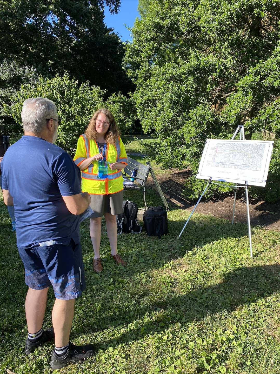
As part of the City’s “Bicycle Master Plan Update: Connecting Communities” initiative, this event was designed to gather feedback and provide information on three proposed alternative “priority routes” from West End Park to the schools’ combined campus off Mustang Alley on the west side of the Birch and Broad Shopping Center at 1200 West Broad St. Based on an analysis of how students are already biking, walking and using pathways to get to school, each proposed shared-use trail is designed to enhance and make safer an existing informal route students and others are using.
The goal of the initiative is to: “connect the City’s commercial areas and neighborhoods, transit facilities, schools, regional bicycle facilities, and designated bicycle routes in neighboring jurisdictions.” One of the key objectives, Oddenino stressed, was to weave together throughout the City “islands of lower stress,” i.e., places where bikes and pedestrians can ride through the community without too much car traffic and risk.
At the event, The Falls Church Independent asked Oddenino about how public communication on this initiative has proceeded thus far. “We’re doing an update of the Bike Plan and as part of that we’re looking at these ‘priority routes’ for implementation in the near term. So we went through this public process, went to different boards and commissions, and did a couple of community meetings, and we did tabling at the Farmers Market, and met at the schools, and we did “dot-voting” [a facilitation method where participants vote by placing dot stickers or marks next to options] asking people ‘Where do you most want to see bike facilities put in?,’ and one of the biggest responses was, “between the W&OD Trail and the Secondary Schools campus.”
“We did some tabling… at Meridian H.S. before school let out for the summer,” Oddenino said. “So, it would be great if some students came tonight, parents, or other community members who just want to get over to West Falls Church in this part of town. If they want a shorter trip.”
Views of the Mayor and City Manager
“I’m really excited this could be potentially one of our first bike routes in the City,” Mayor Letty Hardi told The Falls Church Independent. “Connecting kids to school is probably a shared priority for everybody but with new residents coming to the west side of the City I think this is an opportunity both for economic development and more safe and accessible transportation options for everyone.”
So, does this mean the Mayor supports the City Planning Office’s proposals today? “I think it’s a good start,” she said. "I’d love to do more. I know we have a couple of other routes we’re looking for across the City that the staff is recommending. I think those will be terrific too.”
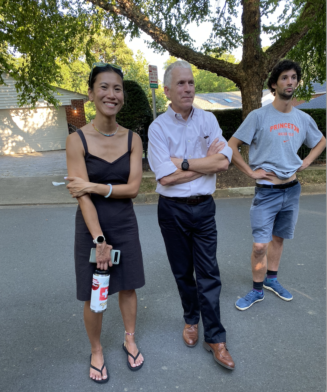
City Manager Wyatt Shields, an avid cyclist – “It’s the best way to get around,”he said – also expressed enthusiasm for the “priority routes” project thus far. “I think a safe route to Meridian High School and Mary Ellen Henderson Middle School is just something that makes a lot of sense from a bike planning and a pedestrian safety perspective. And so we have some interesting new ideas coming out of the bike planning process. And you then have to truth-test those good ideas on the street with people who live on the street, who live in the area.”
Seeing more work to improve the City’s bike infrastructure is positive, Shields believes. “I think it’s good for everybody to have choices to how they get around. And that’s what we want. We want people to feel they have good, safe options for how they travel. So we can make some good investments to help promote that.”
Three Alternatives for Priority Routes, with One Favored
Of the three proposed alternatives presented in the walking tour, the first was “Staff Recommended,” while the other two were presented as possible considerations, despite shortcomings.
Alternative #1: “Trail Through Condo Properties” – According to City Planner Oddenino, Alternative #1 – the favored plan – involves developing a shared-use paved bike/pedestrian lane along the current “desire path” (or informal use-path already evident in the grass and gravel) from the skateboard ramps in West End Park up to the back parking lot area of the Mr. Tire Auto Service Center at 105 Falls Ave. Wayfaring bike lane signage would be installed to guide users through a designated area behind the Mr. Tire parking lot, then north up Falls Ave., then left on Offutt Drive for two blocks, then right at Birch Street and then left along a 10-foot-wide, approximately 600-foot-long, paved trail to be constructed between the Falls Plaza Condominium and the Gates of Westfalls apartment complex to Haycock Rd. and then across to Mustang Alley and the schools’ combined campus.
Upside: Of the three options, this is most favored by students who use the path because it “feels the safest,” as it’s the most remote from road and parking lot traffic, and it’s already being used by many riders/walkers informally. “This is a lower stress route here because it’s not next to a bunch of travel lanes… there’s no vehicle traffic nearby. No one’s going to get hit by a car while they’re going through this path,” Odenino said. It’s also the “greenest,” most scenic, and quietest of the options. The final part of the trail would be woven beneath mature trees.
Alternative #2: “Birch and Broad” – would involve similar path-constructing efforts from West End Park to Birch Street, but would lead path-users directly behind the shops at Birch and Broad onto a newly-designated path with wayfaring signage along the existing asphalt, up to Haycock Rd. and then north to Mustang Alley.
Downside: The drawback of this alternative, however, is that “trucks backing up and loading and unloading” goods from Giant Food and other shops along the strip “present liability and safety issues,” Oddenino said.
Alternative #3: West Broad Street – would lead students down the City’s main thoroughfare and involve “repurposing a travel lane on West Broad Street to build protective bike lanes connecting to a future shared-use path at Haycock,” Oddenino said. The protective bike lanes would be 6-feet wide and run two ways.
Downside: Such a plan, however, would not only be the most costly, but would require a comprehensive plan from VA DDOT. It would also still require users of the dedicated lanes to cross against traffic going into driveways for commercial sites along West Broad Street. It might also interfere with the City’s plans for expanding transit bus routes along the important travel artery, part of the City’s energy-saving plan.
Public Input During the Tour
Oddenino has a master’s degree in Urban Planning from Virginia Tech and has been with the City since 2015. Before the meeting began, she sensed people’s excitement around the “priority routes” project. “You know, people are ready to see more bike facilities put in.”
Along the three stops of the walking tour – First, at Falls Ave. and Offutt Drive, Second, at the entrance to Falls Plaza Condominiums and Birch Street, and, Third, at the intersection of Birch Street and Broad Street – all sorts of thoughtful questions were raised by enthusiastic attendees, many of whom cheered on the City’s efforts to expand its bike infrastructure.
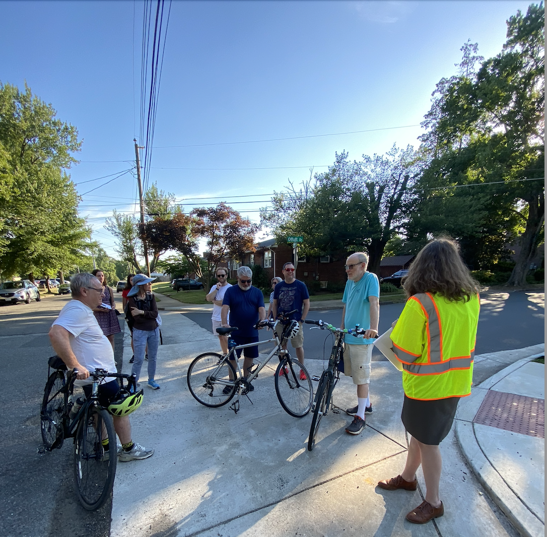
Have cost, environmental, and feasibility studies been done? What are the relevant timelines for the project? Would the trails be amenable to wheelchair users? What do kids who take the Bike Bus at Meridian H.S. think? Would there be sufficient trail lighting (but not so much as to bother apartment and condo residents)? Could there be raised crosswalks? Would the tree canopy be preserved where new trails are paved? How effective are “sharrows” [lane markings indicating shared bike and car use] anyway? Could there be a “green fence” placed between the condos and the new path? Have traffic calming measures been considered? Have you thought of “iterative design,” i.e., doing the project a bit at a time to see how it goes?
New Connecting Trail Project in the Works
I asked if “any safety issues were raised for Alternative #1?,” to which Oddenino said definitively, “No.” Also, whether any neighborhood association might block or any household might “veto” an official City bike route affecting them? “We don’t usually have neighbors complain about signage,” Oddenino reassured.
And, why not have students follow the W&OD Trail to Shreve Road and then commute straight up to campus? Interestingly, she replied, “Well there is another project on Shreve Road, a 10-foot shared-use path there. We have money for that one we got through the Northern Virginia Transportation Authority. Seventy percent is regional funding, so that pot of money comes from a tax that’s levied by the state sales taxes. So we have $6.9 million, it’s in design, the county’s working on it, we have an agreement that went to Council earlier. This year it’s executed – From the W&OD trail from Shreve to Broad. But then the County’s also going to look at the intersection, how to get people across and along Haycock on the Birch and Broad side. How to get people up to Mustang Alley. So they’re working on that now.”
Student Reactions
During the tour, we also spoke with two Meridian High School “rising seniors,” Lilja Anderson and Wendy Abstone who serve as representatives to the City’s Environmental Sustainability Council and co-presidents of their school’s Environmental Club.
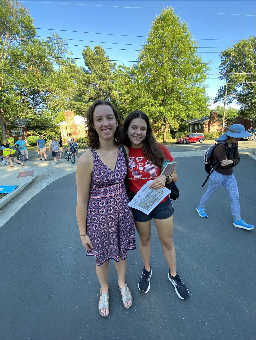
Anderson and Abstone both favor the staff-recommended “Trail Through Condo Properties” route. “I feel it’s definitely much better than what we have now. Especially the one on Offutt Drive going through West Falls and Falls Plaza. That’s the way I walk to school,” Anderson said. “I see a lot of the kids biking beside me, so that’s the way a lot of kids are already going to school, so I think having a bike path there would make it a lot safer but keep the way kids are already going to school.”
Because she lives further from school, Abstone is especially supportive of the City’s moves to expand bike routes. “I support it because when I have walked, I see students coming that way. I live, like, an hour walk from school at the very edge of the city. So, it’s quite hard for me to bike and these alternatives don’t quite cover that yet, but I’m hoping if we start here and it has a more successful response, that will encourage more students to bike and for the bike network to expand and to get to where I live in the City. And basically, the opportunities will open up to more and more students.”
“I think students feel more seen when the City is able to represent their interests,” Abstone continued. “And if the City is able to say, 'Look, this is what we’ve done to encourage biking,' more people are going to be able to use those routes and parents will say, “Okay, the City is looking after my kids and I can send them out on a bike and not have them run over on their way to school.”
“I think a lot of work has been put into this plan and people are here and showing up and putting interest into this, and I think it would be great if we could all come together as a city to support this and make sure we have more bike safety,” Abstone said.
Anderson concurred. “I think it’s good to provide a safer way to school for kids to encourage more kids to bike, which is obviously a more sustainable way to get to school than the bus is – even though they’ve tried to switch to electric buses, a lot of them are still gas – so, I think it would be really cool if more kids biked to school. I think this would be a much better way to encourage them if they [were] guaranteed [to] have a better way to get to school. I think a lot of kids feel unsafe now with all the construction and all the work that’s going on right now, and having a [new] path now would make it a lot easier for them… I really hope this bike path comes to be, because a lot of kids are already biking this way and it would make it a lot easier for the kids”
Walking Tours Scheduled for West Street
June 25, North West Street Community Meeting; 6:00- 7:30 p.m. Location: North West Street, near intersection with Highland Avenue.
June 27, South West Community Meeting; 6:00- 7:30 p.m. Location: South West Street, near intersection with Parker Avenue.
To review the City's Master Bike Plan go here.
By Christopher Jones


Member discussion